
A.I. That Sees Every Shingle, Every Storm, Every Opportunity
Transforming Imagery into Predictable Property Intelligence for Contractors and Insurers
GEN 1 LAUNCH OCTOBER 27, 2025
PATENT PENDING TECHNOLOGY
Transforming Property Intelligence
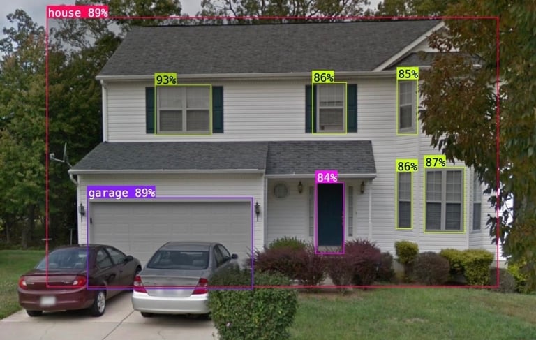
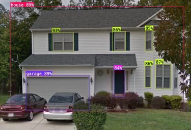
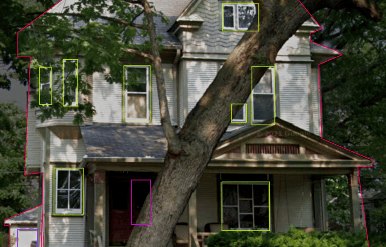
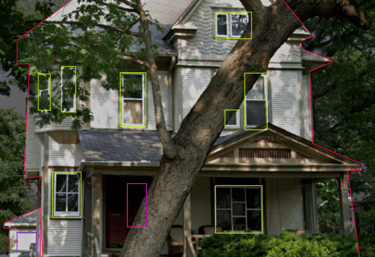
The Aerial Insights Detection Hub is a patent-pending AI engine that transforms Google Maps imagery into property intelligence. It can currently detect all types of shingles and measure roof wear and tear, with expansion underway into siding, gutters, windows, doors, landscaping, solar panels, and more. By turning imagery into data, the Detection Hub helps contractors uncover leads, target the right properties, and scale with precision.
Property Intelligence
Transforming imagery into actionable insights for property assessment and insurance.
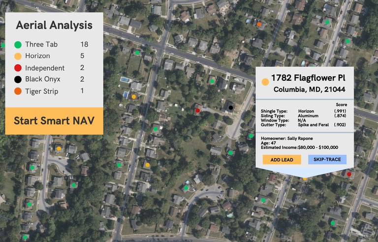
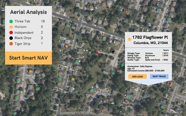
Roof Detection Hub
The Aerial Insights Detection Hub uses our proprietary algorithm to scan data from Street View and satellite imagery to automatically detect key elements of a property. Our current detection methods include shingle type identification and roof wear-and-tear analysis, giving contractors instant insight into the condition and opportunities of every roof.
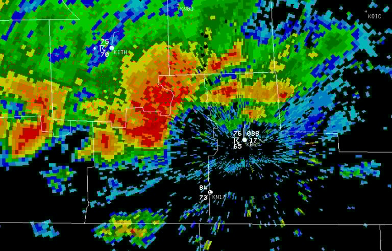
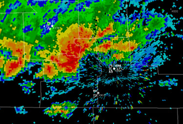
Smart Weather Mapping
The Smart Weather Tool overlays storm maps with Aerial Insights detection data to analyze the condition of impacted areas. By factoring in product specifications and material limits, it generates a detailed list of properties most likely to be damaged.
The AI Canvasser gives contractors a full aerial view of every detected lead in their market, turning hidden opportunities into a clear map of prospects. With built-in Smart Navigation, canvassers follow the most efficient routes through designated areas, moving seamlessly from one lead to the next. This transforms door-to-door work into a precise, data-driven process that saves time and maximizes results.
A.I. Canvass Tools

Unlock Property Intelligence
Transforming imagery into actionable insights for contractors.
